 |
By David Kier
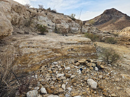
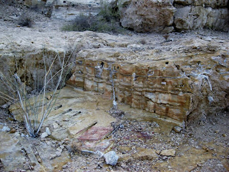
The fine onyx mined in Baja California for over 120 years is found in several places. The best-known mine is El Mármol. It was famous for building a schoolhouse out of the quarried blocks for the children of mine employees. Other onyx mines in Baja California include Cerro Blanco (between Cataviña and Faro San José), El Marmolito (south of Nuevo Rosarito), and San Judas (between Puertecitos and Gonzaga Bay).
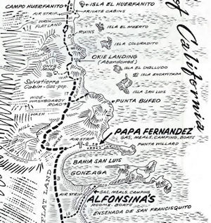
The San Judas mine dates back many years. Onyx is shown around there on maps from 1919 and 1930. My first reading about it was in the 1970 Cliff Cross Baja Guide (and included map). In the years that followed, this mine was also shown on Mexico’s topographic maps. That is where we get the name ‘San Judas.’ The Auto Club maps from 1967 to 1974 did show the mine’s airstrip. Today, San Judas is abandoned, and its 1,800 ft. airstrip has been ‘ditched’ to prevent use by drug-runners.
San Judas is a one-mile-drive, west of Highway #5. This location is situated just south of Okie Landing, an abandoned fishing camp from the 1960s. For more information about Okie Landing, click here. The road to the mine meets the highway around Km. 118.5, where there is a gap between the guardrail and a white-painted brow ditch. This mine road parallels the highway for a bit, then there is a fork to the west. Take it, going uphill along or on the old airstrip runway.
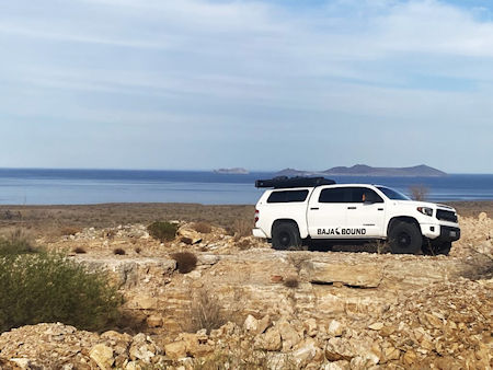
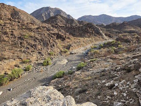
We spent several minutes checking out the quarry before walking over to the deep arroyo and looking down. San Judas overlooks Arroyo Agua las Palmitas (see photo). A small oasis named ‘Sagrado’ is 2.5 miles upstream. The mine road continues past San Judas and then drops into this arroyo. However, we did not attempt to do that, this trip.
Initially, I was thinking this was the arroyo that contained an important waterhole, named Agua del Mezquitito. I wondered if the shady spot, way below, was it. I have been there three times in past years, but only by walking up the arroyo. Later, when I checked the online satellite views and Benchmark Baja California Road Atlas (with kilometer marker locations), that arroyo was another kilometer south of this one. I hope to revisit Agua del Mezquitito on a future trip.
Baja California never ceases to amaze with its endless supply of interesting and historic sites...

Easiest way to purchase insurance when traveling to Mexico. I have used their service for the last...

Baja Bound makes buying insurance for going south of the border as easy as it gets. The website is...

I had very positive experience buying my Motorcycle Mexico Insurance for my oncoming ride to Cabo...